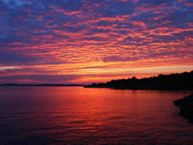
About the Georgian Bay South Channel
Because of its location on the Eastern shore of Georgian Bay, Parry Sound's South Channel developed as one of the earliest cottage areas on the Bay. The South Channel from early on became Parry Sound's gateway for water traffic to the South and it remains so today for both pleasure and water craft. It is the access route for a great many 30,000 Island 's water-based destinations.
On any map of the Great Lakes, the Georgian Bay will appear along the Northeast area of Lake Huron as part of that Lake. The Bay, so called, is over 200 miles long and 40 to 50 miles wide and might well be considered a sixth Great Lake. Only a very detailed map will show the thousands of islands which lie along the Northeast shore. Frequently referred to as "The 30,000 Islands", there are in fact far more, perhaps 40,000, of all sizes from one half acre rocks to very large ones of many thousands of acres such as the nearby Indian Reservation, Parry Island, and Christian Island in the south end of the Bay. On the north there is the great Manitoulin Island about 100 miles in length, the largest island in the world lying in fresh water.
The 30,000 Islands of Georgian Bay are unique. There are only three other areas on the face of the earth that even remotely resemble them: one is in western Canada, the Islands of Puget Sound, the second is the rocky coast of Maine with its many coves, bays and islands, and the third is the islands in the Baltic Sea east of Stockholm, Sweden, and west of Helsinki, Finland. All these island areas take second place to the islands of the Georgian Bay, they are all located in salt water and do not have the rugged weather conditions which produce so much of the beauty one finds, in the windswept shores of the Georgian Bay Islands.

